Ocean Canada Map
The free Ocean Canada Map app lets you explore Canada’s oceans, lakes, rivers, and watersheds like never before. Use augmented reality and 360° videos to discover Marine Protected Areas, keystone species, Indigenous communities and languages, and the people protecting our waters. Pair the app with The Ocean, Freshwater, and Us—a free, bookable giant floor map—for an immersive classroom or community learning experience. Available in English, French, and Inuktitut.
Media
Activity
Free resources for Canadian educators:
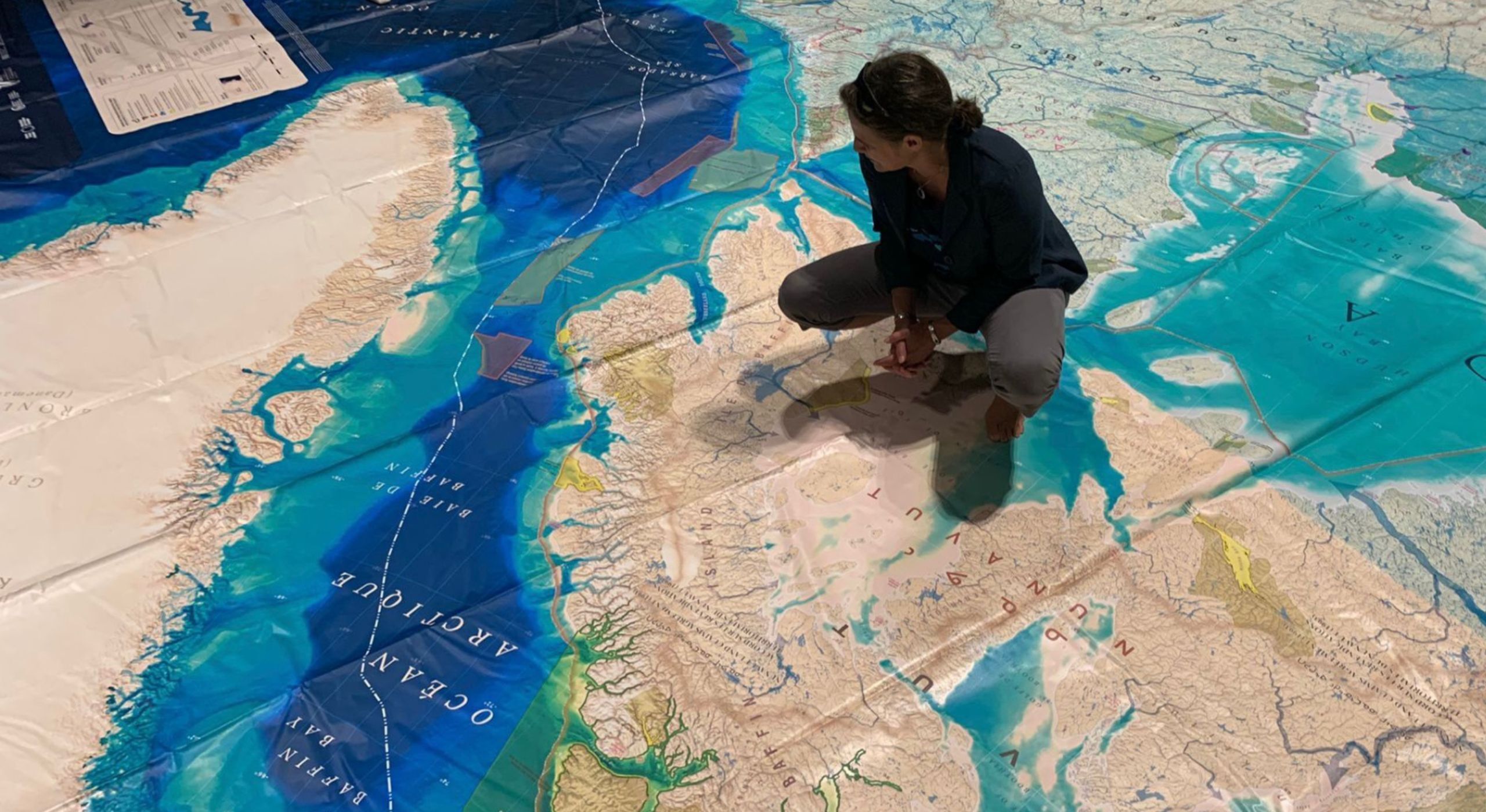
Book the Giant Floor Map, a classroom or gym-sized educational tool for schools and community groups. The map includes:
- A teacher’s guide
- Printed learning activities
- All materials for five hands-on lessons on biodiversity, climate, conservation, and ocean action
Pair the map with the app to activate AR features and bring protected areas to life in your learning space.
A free online version of the map is also available for use on computers or smartboards:
https://canadaoceanmap.ca/
Book the Giant Floor Map:
https://cangeoeducation.ca/en/...
Learn more about the Giant Floor Map:
https://oceanweekcan.ca/blue-l...
This app is an initiative of the Canadian Ocean Literacy Coalition (COLC) in collaboration with the National Film Board of Canada. COLC is a nationally and internationally recognized centre for ocean literacy collaboration, research, and innovation.
Learn more: | colcoalition.ca | oceanweek.ca